
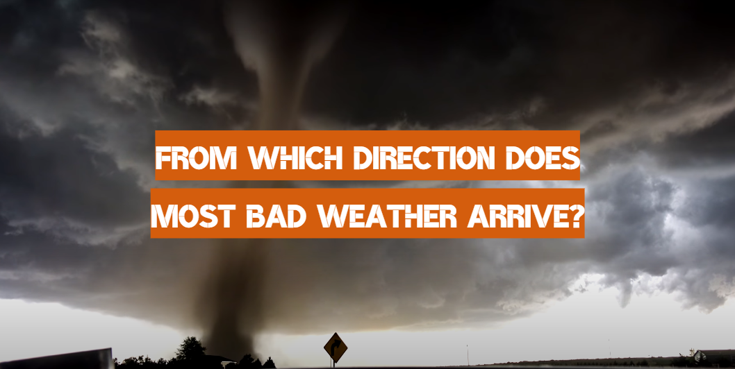
Most people know that most weather storms in the United States move from west to east. However, it is not a rule of thumb and many factors may affect the direction where bad weather forms and moves.
A storm is a dynamic process that changes and evolves over time. Size shifts, changes in the storm’s stage, changes in precipitation rate, changes in moving speed, and changes in movement direction may all affect these changes. A storm and rain pass into and out of it. Moisture will condense into rain and hail during this period. Any of the precipitation will reach the atmosphere, while others will persist in the form of cloud particles or dissolve back into gaseous form.
The path of the wind in the middle/upper troposphere is one aspect. Since too much of the storm is subjected to these winds, they have a significant impact on the storm’s passage. The wind also blows from west to east or a combination in this direction in the middle latitudes. This is close to the jet stream’s inclination. Storms can often enter from the northwest, west, or southwest, as a result.
The random variables associated with the forming storm structure are another consideration in storm movement. A storm has the potential to expand in either direction as it grows. This is why storms may appear to be steered by upper-level winds only for a short time. Storms may form in a number of ways. The emergence and passage of a solid convergent boundary, like a cold front, warm front, or dry line, is the third element.
Storms can be steered by the movement of these borders so storms often develop on and around them. These convergence borders, including upper-level wind steering, will appear to shift west to east or in a combination of that path.
More geographic convergence barriers, such as sea breezes and mountain terrain, may also affect storms. Storm motion is often influenced by where you are in a position to a low-pressure area. Winds cyclonically pass through a low-pressure region. Such systems mostly travel west to east, but storms can move in the opposite direction due to the general rotation around a low pressure/mesolow (sub-synoptic low) system. Though middle/upper-level winds are the most important factors in storm steering, other factors are also important.
Table of Contents
What causes wind direction and what is important?
Wind transports moisture, as well as hot and cold air, into the atmosphere, influencing weather trends. As a consequence, a shift in the wind causes a change in weather.
Air friction is a significant determinant of wind speed. The wind blows from high-pressure regions to low-pressure areas. Heat and friction also force the wind to change course. A sea breeze, for example, occurs as the ground heats up more than the ocean, and the warm air increases and travels inland from the higher-pressure water. If the reverse happens, and the water holds more heat than the ground, a land breeze occurs.
The Coriolis Effect as well as topography are two other factors that influence the direction of wind. The Coriolis Impact is induced by the earth’s movement from west to east, which allows winds to blow in either a counterclockwise or clockwise direction. Wind path is influenced by topography, which relates to the earth’s geography, and patterns in the landscape, such as mountains.
Why do most bad storms move from west to east?
The jet stream is the reason they often travel from west to east. Such a stream is a thin band of fast-moving air currents that flow from west to east around the tropopause’s level. The jet stream encircles the entire globe. They normally have a snake-like, meandering form.
Weather services are carried by jet streams. Tropical weather is pushed northward by cooler northern air. Because of the earth’s movement, these winds move from west to east.

In the Mid-South, we occasionally get a backyard cold front. This is because a cold front will be pulled in from the northeast to the southwest by a region of low pressure.
Low-pressure systems, which shift cold fronts, have a structure that favors a front heading north to south or northwest to southeast. Warm fronts normally travel from south to north on the east side of a low-pressure system’s counterclockwise propagation, rendering an east to west flow rare. Because of the easterly trade winds, disturbances that pass east to west are tropical systems.
How to tell if a potentially bad storm is moving?
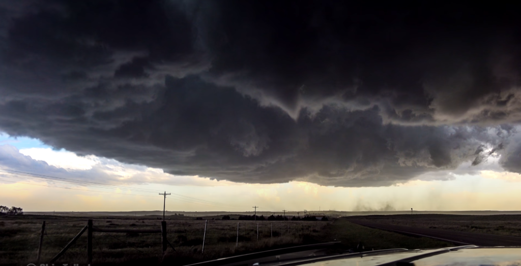
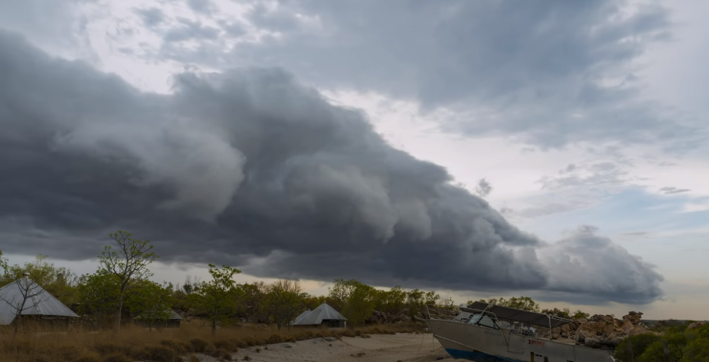
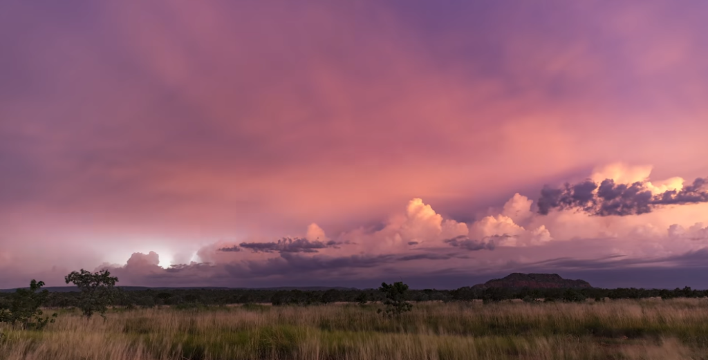
Watching at the height and color of clouds is one of the simplest ways to tell whether the day would be rainy or only wet. If the clouds are bigger, puffier, and darker in color, rain is almost certainly on the way. It’ll almost certainly be a gloomy day whether the clouds are white/light gray and/or tiny.
The distinction between a storm that will produce rain, hail, and high winds but not tornadoes and one that will produce tornadoes is very subtle. Forecasters have historically used measurements and computer data to detect locations where extreme variability and wind variations coexist. In reality, Doppler weather radar is one of the most effective ways to detect approaching tornadoes.
Here’s how to say whether a storm approaching you is likely to bring just several rain showers or has the ability to create tornadoes:
- Observe the dark clouds. Grey clouds aren’t always the same. A tropical storm with the ability to create lethal weather will also seem dark or even sickly green in nature. The cumulonimbus clouds should be very wide and low-lying. The thunderclouds you see will also continue to form upward at a rapid rate. Keep a close watch on the skies for any signs of movement;
- Temperature matters. A combination of humid, damp air at low levels must collide with fresh, comparatively cold air above for extreme storms and hurricanes to develop. The disparity between wind speeds at the earth and around 20,000 ft above the atmosphere, known as wind shear, would slam the situations together. Keep a careful watch on the weather while you’re waiting outdoors. If the weather drops from mild or hot to a more brisk level, you should be sure that a storm is on its way;
- Sudden wind changes are a bad sign. Be alert if the wind unexpectedly picks up or if there is a sudden quiet before or after a thunderstorm. The strange calm isn’t always the end of a storm, but it may be an indication of impending possibly harmful weather;
- Check the atmospheric precipitation changes. Be on the lookout for hail or heavy rain, which can be followed by either a dead calm or a rapid, violent wind change. Tornadoes may often (though not always) be preceded by large hail;
- A barometer can assist. If you have a barometer, take a hand at it for a couple of hours. If you experience a sharp decrease in pressure, it’s a warning that a storm is coming;
- Listen carefully. When you watch the storm, aim to block away from any unnecessary noises and pay careful attention to what you’re saying. Take cover quickly if you detect a heavy whistle or an intense disturbance that looks like a freight train; a tornado has most definitely spawned;
- Tornado watch and warning are not the same things. Tornado watches and warnings are often misunderstood. Tornadoes are likely in and around the watch region, according to the watch. A tornado warning indicates that a tornado has been observed or detected on radar. If you are in a region where a tornado warning is in place, you must take cover immediately;
- Learn to interpret the radar properly. To interpret radar, you don’t need to be a meteorologist. Look for big red lines on the radar while watching hurricanes. Keep an eye on the front-end of the line for hooks, or locations on the storm cell that seems to be hooking in a specific direction. A tiny green spot in between two bigger spots of red may indicate a threat. However, the only approach to understand the weather is to switch on the weather forecasters and pay attention to what they tell;
What affects the direction of moving thunderstorms?
If you have to focus entirely on perception, assessing how strong a thunderstorm is and in which direction it is traveling can be challenging. With a little context information, though, you may make some fairly decent guesses.
Next, let’s have a peek at how thunderstorms pass. We live in an area of the world where westerly winds predominate, particularly at high altitudes. When it applies to thunderstorms, there is a crucial thing to remember.
As opposed to the areas of low pressure and snowstorms, a thunderstorm typically occupies a comparatively limited region of territory. Thunderstorms, on the other hand, span a wide region as seen from a vertical angle.
Clouds normally range from about 3,000 feet upwards to about 15,000 feet in a normal region of low pressure or snowstorm (much lower than this). Clouds in a thunderstorm arrive at around the same level, but they can climb as much as 50,000 feet in a thunderstorm. Thunderstorms that tower this strong are unusual in Alberta, but thunderstorms reaching between 30,000 and 40,000 ft really aren’t uncommon.
Yes, thunderstorms can cross very high altitudes, but what does this have to do with a thunderstorm’s direction? The path of a storm’s passage may or may not be influenced by surface winds. Thunderstorms are areas of quickly rising weather, so bear that in mind. Consider it like a vacuum: the storm is sucking air upwards, which ensures air from everywhere around the storm is being drawn in.
Each thunderstorm is different, and a number of variables will affect how air behaves during a storm. However, it’s fair to believe that the storm’s path is mostly dictated by the intensity of the surface winds, especially while the storm is nearby. Storm paths are largely determined by wind higher in the atmosphere.
Remember that these storms travel up into the atmosphere, frequently approaching the troposphere or weather-producing areas. This suggests that the high-altitude air pattern, which is normally westerly, helps to control the storm’s passage.
Regrettably, it isn’t often that easy, since we’ve all certainly seen thunderstorms that didn’t originate in the west. Because of the lengthy wave cycles in the upper layers of the atmosphere’s westerly surge, these westerly winds may be bent and move in almost any direction. If you look at the figures of wind direction in the upper atmosphere, you’ll see that much of the time the wind is coming from the southwest to the northwest.
These winds sometimes come from the north or south, and much less frequently from the southeast or northeast. Since easterly winds are so uncommon, the odds of seeing a thunderstorm arriving from the east are exceedingly small.
But wait, haven’t you noticed a thunderstorm approaching from the east? It may have occurred, but it’s more possible that the storm developed from the east rather than coming from the east. Thunderstorm development may be dramatic, to say the least.
A thunderstorm will intensify in ten minutes. If a growing storm is moving steadily from west to east and you’re near to it, say 15.5 miles to the east, the storm could intensify quickly and spread out in all directions. This will give the impression that it was approaching from the east, despite the fact it is slowly heading away from you.
Related Video: How are thunderstorms formed?
How can you determine the direction of a storm?
If the storm is approaching you from the west, you should be worried. Otherwise, keep a storm out for whatever way the higher clouds are heading or have been moving, and keep in mind that a storm’s development will obscure its overall progress. You should even hold a storm on the storm’s peak or surrounding storms to see which way the anvil or straggly clouds are being swept off the top. This will offer some insight into the upper-level wind direction.