
The morning of a modern person begins with the fact that we find out on the Internet what the weather will be like today. Modern weather forecasts have become so clear and correct that you can plan not only the day and know how to dress, but the entire week. Modern weather forecasts are complex computer simulations using physical equations, describing air movement, solar heat exposure, cloud formation, and precipitation itself.
But what if there is no internet nearby and you cannot check the weather forecast? How do you know if the weather will be sunny, cloudy, or heavy rains today? These questions will help to answer the clouds, which predict how the weather will change in the next few hours. By watching the sky and knowing how clouds form and what they are, you can predict precipitation or dry and sunny weather.
Table of Contents
Types of clouds
According to the generally accepted classification, 10 types of clouds form in the troposphere. All these types have original structures, appearances, and handle different types of weather. These cloud types fall into two broad categories: vertical development clouds and horizontal development clouds. Clouds of vertical development include two types of cumulus clouds. The remaining 8 species are stratus clouds.
- Cumulus clouds are small, white, and fluffy clouds.
- Cumulonimbus clouds are small clouds that can grow in size and become thunderstorms.
- Cirrus clouds form in very high layers of the atmosphere, have a smoky color and are composed of ice crystals.
- Stratus clouds form slowly and are a continuous cloud sheet that covers the entire sky.
- Lenticular clouds are smooth and lenticular clouds.
- Kelvin – Helmholtz clouds are shaped like an ocean wave, very beautiful clouds that are very rare.
Why do clouds form?
Clouds result from the condensation of water vapor and its movement into a liquid and solid-state. For clouds to form, it requires two factors: a decrease in air temperature and an increase in air humidity.
In simple words, water from a liquid state on the surface of the earth turns into a gaseous state, evaporates, and accumulates in the upper layers of the atmosphere. Depending on the advection of air masses, they can move horizontally or vertically.
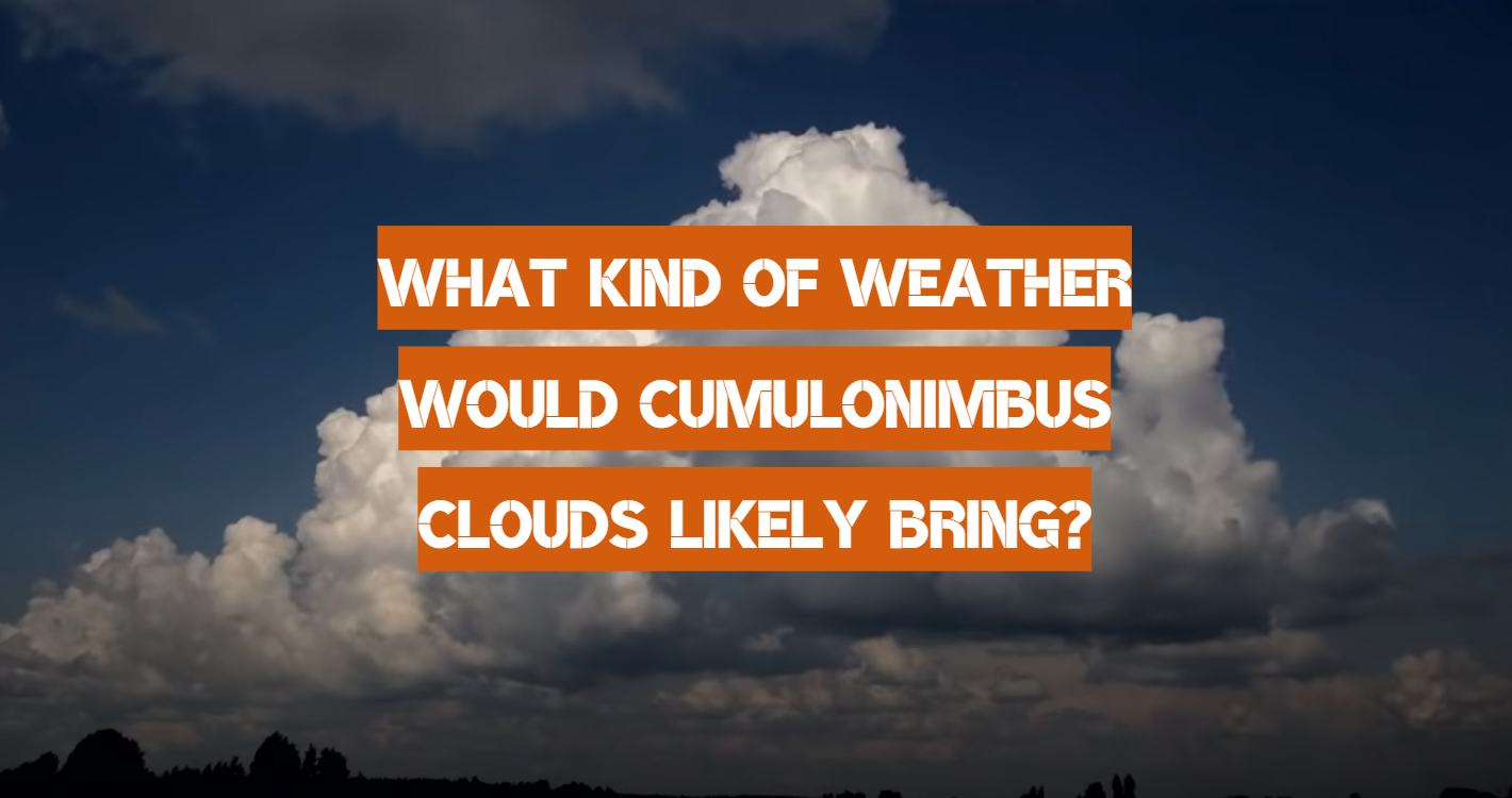
What are cumulonimbus clouds?
Visually, cumulonimbus clouds practically do not differ from cumulus. These clouds are large in size, lead-dark in color, and are located above the cumulus clouds. Sometimes the color of such clouds is almost black. Mixed cumulonimbus clouds. It composes the tops of these clouds of ice crystals, grains of hail, and snow. At the bottom of the clouds are water droplets of different sizes.
How do cumulonimbus clouds form?
When the air is cooled, its temperature takes on negative values. This process leads to the fact that cloud droplets freeze in the clouds and ice crystals grow. Thermal convection occurs, forming flat cumulonimbus clouds 3-5 yards thick. Such clouds give rather intense precipitation.
Let’s consider the complete process of development and formation of such clouds in more detail.
- A moist air mass rises from the warm surface of the Earth. When it becomes saturated and reaches several yards in diameter, what we call cumulus clouds to appear.
- Cumulus clouds are influenced by powerful updrafts as a result of which they develop vertically. The condensation of the vapor increases due to which the number and size of the droplets increase.
- The transformation of this cloud into cumulonimbus begins when the temperature drops below -20 ° C. The top of the cloud grows up to 5 yards.
- A cumulonimbus cloud becomes like a haystack, at the top of which there are pronounced peaks. More and more droplets form inside the cloud.
- When the top of a cumulonimbus cloud takes the form of a cirrus cloud and becomes like an anvil, the air jets begin to force downward and it rains. The stronger the jet of air in this place, the stronger the rain, which can turn into a downpour and severe thunderstorm.
- When the updrafts disappear, the cloud dissolves.
They also divide cumulonimbus clouds into subspecies, and depending on the type of this cloud, we will observe heavy or light precipitation. We divide them into three types: ordinary clouds, multicell and supercell-type clouds.
Ordinary or local thunderstorms. They are associated with short-term rainstorms, and sometimes weak thunderstorms. A thunderstorm in single-cell clouds begins with the appearance of a cumulus cloud of pleasant weather. The lifespan of such a cloud is about 1 hour.
Multicell are clouds that bring the most common type of thunderstorm. These clouds are composed of several ordinary clouds. They form a single anvil on top. Thunderstorms, squalls, hail, heavy torrential rains are formed in such clouds. In mid-latitudes in the summer, we can most often observe this type of cumulonimbus clouds.
Each cell, which is one whole and forms a cloud of this type, can exist for 20-30 minutes, and the entire cloud can precipitate for several hours. These clouds bring torrential thunderstorms with heavy winds, and can also produce large hail.
Supercell is the strongest storm cloud. Of all three types, this cloud is the most common and most dangerous. The fundamental difference between this type of cloud is its size. Such a cloud can reach 10-15 yards with a diameter of 50 yards. Most often, the warm cyclone spectrum is most favorable for the formation of this type of cloud. This type of cloud produces harsh weather conditions. We can observe a squall, wind, thunderstorms, lightning, and showers if clouds of this type are formed in the atmosphere. And it is also worth noting that 25-30% of such clouds can form tornadoes. The development of a tornado depends on the dynamic structure of the storm. For its development, two factors must be present: vertical rotation and a strong updraft. This is how strong tornadoes are formed, ready to destroy everything that comes their way.
Such clouds can appear and develop in any area of our planet, but as practice shows, the most favorable zones are the central states of the United States, some zones of Argentina, Brazil. In Europe, the appearance of cumulonimbus clouds that contribute to the development of tornadoes is extremely rare.
Last words
When we hear the term cumulonimbus clouds, we imperceptibly imagine that such clouds bring extreme weather conditions. Showers, thunderstorms, gusty winds, and sometimes strong tornadoes – these are what can form in the thickness of such clouds. The most harmless ordinary clouds (single-cell) bring short-term torrential rains, which subside in an hour and quickly dissipate. But if the clouds combine several such cells, then torrential rains can last for several hours, and 30% of such clouds bring tornadoes.